
Cudahy Neighbors Begin With Block Records
A block lookup is a chain of official sources, each with a different scope. The Los Angeles County Assessor and its map viewer can show parcel geometry, AINs, situs addresses, and parcel facts. The owner path is separate. Elections data is restricted. City records show public business and civic activity, not a complete list of households. No verified public Cudahy HOA, neighborhood, union, congregation, or funeral roster was located, so a responsible neighbors search cannot fill that gap with an invented association list.
| Source | What It Shows About a Block | Access |
|---|---|---|
| County GIS and Assessor map | Adjacent parcels, boundary shape, AINs, and situs addresses | Free interactive map and parcel search |
| Assessor roll and PDB | Parcel facts and an assessee or owner path for each parcel | Free address/AIN search; PDB, counter, or phone for owner name |
| Authorized voter street index | Permitted registration fields at street or address level | Restricted purpose and product; not a casual browse |
| City Clerk, council, and commissions | Civic contacts and people who appear in public proceedings | City meeting records, public web pages, or request |
| Cudahy public-records request | Existing permits, correspondence, code, and other nonexempt city records | Online form; inspection or copy choices |
| Commercial compiled tools | Secondary address claims assembled from mixed sources | Not authoritative; may be stale or merged |
The table’s distinction matters. A parcel-owner result creates block context. It does not become a household roster. A public meeting entry identifies a participant in that meeting. It does not prove that every nearby person belongs to the same group. Use the smallest source that answers the question.
Click Adjacent Cudahy Parcels
The Los Angeles County Assessor Maps viewer is the starting point for a block-level neighbors search. Locate the target address, zoom until parcel boundaries are legible, and use the map rather than a guessed radius. The useful unit is the parcel polygon. A straight-line circle can cross an alley, a street, or a city boundary and can hide the actual lot sequence.
- Locate the known address in the Assessor map and record its AIN and situs address.
- Click the parcel immediately left, right, and across the street, then record each AIN and situs address.
- Open each parcel result and preserve the same fields for every lot so the block comparison stays consistent.
- If a map popup does not show an ownership name, move to the Assessor PDB, a regional counter terminal, or the telephone route.
- Stop at parcel and owner context. Do not turn the result into a claim about renters, visitors, or a whole household.
This process makes the block reproducible. Another researcher can return to the same address, check the same adjacent polygons, and see which parcel facts were actually available on the search date. There is no public buffer or radius export that supplies a ready-made list of nearby owners. For a full named-street chain beyond the immediate lots, use the Cudahy street directory workflow.
The map is also a useful check on a postal label. A 90201 address can be in Cudahy, Bell, or Bell Gardens. Parcel jurisdiction must be confirmed separately.
Carry Each Cudahy AIN Into the Assessor
An AIN is the stable parcel key that connects the map to the Assessor result. The free Assessor property search accepts an AIN or full street address. It can return situs, use or parcel type, tax-rate area, exemption, units, beds and baths, map information, current and base-year values, land area, zoning, legal description, and building-year details. Those facts describe the parcel, not all people connected to it.
Owner-name access is handled differently. The Assessor’s Property Database access route supports remote owner or assessee searches for a fee, while regional-office terminals and telephone service at 213-974-3363 provide alternatives. If the owner is a trust or LLC, the entity name is the result. If the assessee mailing address differs from the situs, it is correspondence geography, not proof that the owner lives there.
| Map result | Parcel polygon, adjacent lot position, AIN, and situs. |
|---|---|
| Assessor result | Parcel facts, values, use codes, legal description, and building details. |
| Owner path | PDB, free office terminal, or phone, rather than a free name browse. |
| Missing layer | Renters, utilities, delivery records, students, and complete household membership. |
Note: Keep the AIN with the map date because parcel facts, ownership, and public availability can change at different times.
Cudahy Blocks Have Owners and Gaps
Owner and occupant are different records concepts. A deed identifies named parties to a property instrument. An Assessor result identifies a parcel and assessee path. A mailing address points to correspondence. None of those fields is a complete list of who uses the parcel. California privacy and access rules also keep many daily-life records out of a public neighbors search.
- Situs address
- The physical place represented by the parcel.
- AIN
- The mapbook-page-parcel identifier used to carry the lot between GIS and Assessor systems.
- Assessee
- The name associated with the assessment record, which may be a person, trust, or entity.
- Occupant
- A person using or residing at a place, a fact not established by a parcel-owner result alone.
- Household
- A group of people at an address, not a public field that can be assumed from a deed or map.
Utility, delivery, DMV, student, renter, and complete household lists are not public resident directories. A property tax exemption or mailing address may offer a clue, but it cannot fill those missing layers. The same caution applies to a professional or business address. It can describe a role without identifying a home.
A good neighbors search records what is shown and what is not shown. That negative space prevents a parcel map from becoming an unsafe story about private people.
Cudahy Voter Data: Block Limits
California’s My Voter Status tool is an authenticated self-lookup. It is not a public list of Cudahy neighbors. A voter checks their own status with identifying details. Separate Los Angeles County voter products include a Street Index or Vote by Mail Report, voter registration information, maps, GIS, and election products, but a requester must establish an authorized purpose and pay the applicable product fee.
The county voter-data purchase information and Elections Code §2194 set the boundary. Voter-registration data may be disclosed for election, scholarly, journalistic, political, or governmental purposes. Commercial use is prohibited. Signatures, Social Security numbers, driver-license and state-ID details are not released. Safe at Home and other protected addresses remain confidential. Ballot choices are secret; participation history does not reveal how a person voted.
For a block question, the authorized street index is a restricted channel, not a shortcut around the parcel method. A casual request for every voter near an address is not the same as a permitted election or research use.
Note: A self-authenticated status match confirms the voter’s interaction with the election system, not a public roster of everyone at a Cudahy address.
Cudahy Civic Records Add Public Contacts
City council and commission records can add the civic layer around a block. Agendas, minutes, public notices, staff directories, and recorded public participation may identify officials, applicants, speakers, or other public participants. Those entries are useful for civic history. They do not create a neighborhood membership roll.
The Cudahy City Clerk and municipal records hub can route questions about city files. The Cudahy public-records request form asks for a requester name and contact information, a description of the record, and a choice among copies, inspection, inspection plus copies, or another option. Describe an existing permit, dated correspondence, code file, or meeting record by address and date range instead of asking staff to assemble a list of people.
| City Clerk | Municipal records, notices, agendas, public requests, and routing. |
|---|---|
| Building and Safety | Address-keyed permit files through the city entry point, staff request, or CPRA process. |
| Council and commissions | Public participants and civic contacts appearing in official proceedings. |
| Copy and inspection choices | Inspection, copies, or both, with standard copies at $0.25 per page and special disclosure-copy rates. |
Staff generally determine within 10 days whether responsive records are public and available, subject to a statutory extension. No stable public historical permit or code database was located. The request form is the honest fallback.
The form’s fields make a block request narrower and more useful. A dated record can be checked against the parcel map without implying that every person in a civic document lives nearby.
The Cudahy public-records request form is the source for the inspection and copy choices shown here.
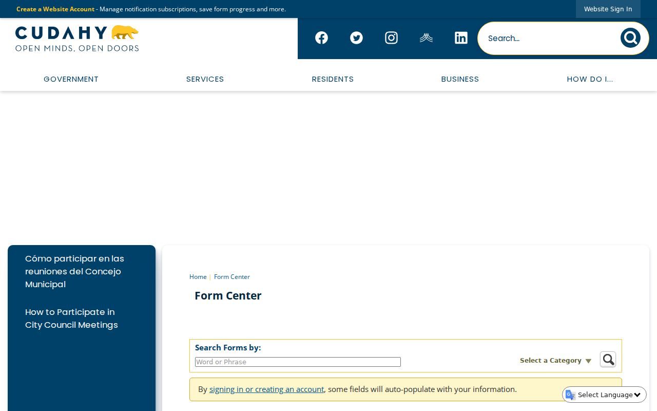
The Cudahy request form shows the available inspection and copy choices. It is a route to existing city records, not a form for ordering a household roster.
Cudahy Professional Licenses Add Role Clues
The California Department of Consumer Affairs professional-license search can return a name, licensing board, license type, license number, location, status, and published discipline. That information can help explain a business or civic connection near a Cudahy block. It is not a home lookup. A license location may be an office or service address, and the record does not prove that the licensee lives there.
Use the license number, board, and status as the identity anchors. Compare the result with a dated business filing, FBN record, public meeting entry, or parcel record only when the relationship is relevant. The source’s role label matters more than the mere presence of a matching name.
Professional records are one example of why neighbors cannot be inferred from a pile of address matches. Each record points to a defined role. Keeping that role intact protects both accuracy and privacy.
The California Department of Consumer Affairs license search is the source for the role and status interface shown below.
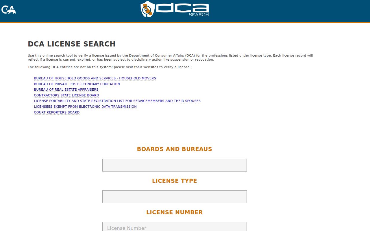
The DCA search view demonstrates a role and status lookup. It can corroborate an affiliation, while the Assessor and GIS remain the parcel sources.
Official Cudahy Records Versus Commercial Neighbor Tools
Official and commercial categories answer different questions. The comparison is not about finding a larger list. It is about whether a source names its custodian, states its field, preserves a date, and offers a correction path. Commercial compilations can be a lead for a spelling variant, but they should not replace the Assessor, GIS, Elections, City Clerk, court, or other source office.
| Feature | Official records | Commercial compilations |
|---|---|---|
| Source | Named custodian such as Assessor, City Clerk, Elections, or DCA | Mixed public and purchased data assembled by a private provider |
| What it shows | Defined parcel, voter, civic, license, or filing fields | Combined address or name claims with uneven context |
| Freshness | Record date, filing date, or search date is usually visible | Refresh timing and merge logic may be unclear |
| Correction | Ask the source custodian to correct its own record | Opt-out or correction depends on the provider |
| Privacy | Statutory access limits and protected-address rules apply | Coverage can overstate a household and still miss protected people |
For Cudahy neighbors, official records are strongest when combined in a narrow chain: map polygon to AIN, AIN to parcel result, and a defined civic or license record only when it answers a separate question. No category supplies a complete household list.
Cudahy Privacy Shields Protect Households
Safe at Home gives eligible California participants a substitute mailing address and mail-forwarding protection. The California Safe at Home program does not retrospectively erase a deed, court case, assessor roll, or other source record. It does mean a public block search may not expose the participant’s actual address.
California CCPA and CPRA rights include knowing, deleting, correcting, limiting sensitive-data use, and opting out of sale or sharing for covered businesses. The California privacy rights guidance explains the consumer route. The California Privacy Protection Agency’s data-broker registry and DELETE Act process can help with broker requests, but deletion from a broker does not delete government records.
Voter data remains subject to Elections Code §2194, and DMV personal data is constrained by the federal DPPA. Utility, delivery, student, renter, and complete household records are not available through a lawful public neighbors lookup. Minimum matching data is the better practice: use only the address, AIN, date, and record type needed for the question.
The California Safe at Home program is the source for the substitute-address view below.
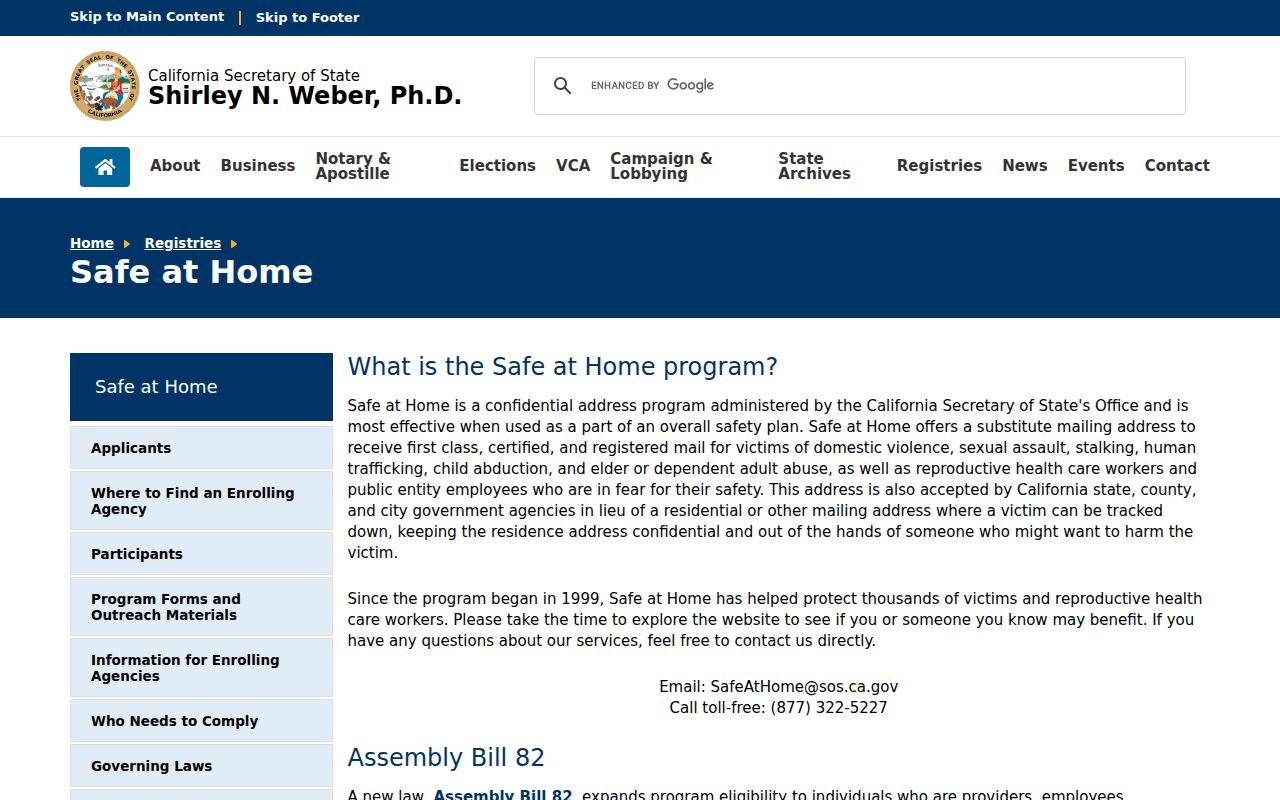
The Safe at Home source explains why a substitute address can interrupt an otherwise ordinary address trail. A missing public address is a protection, not evidence that a person is absent.
The California consumer privacy rights guidance is the source for the CCPA and CPRA information shown next.
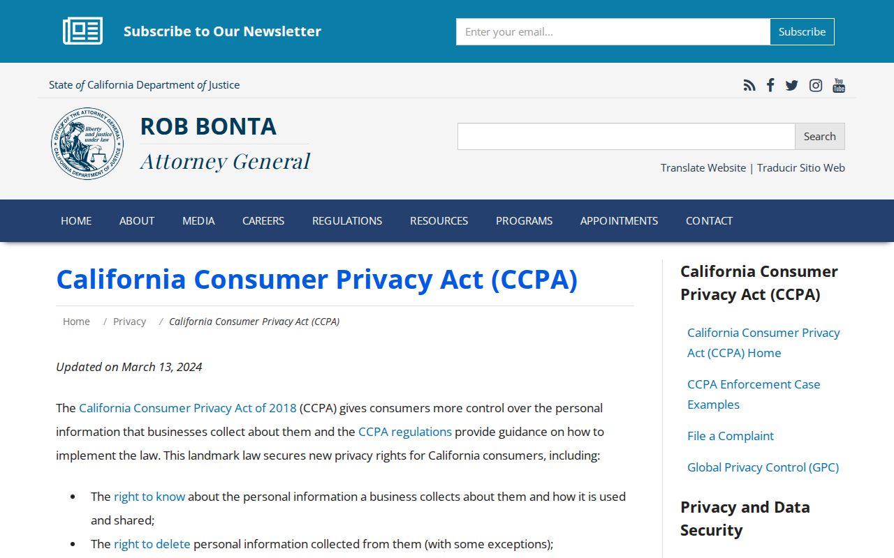
Consumer privacy guidance covers rights against covered businesses. It does not create a way to rewrite deeds, court indexes, or assessor parcel records.
Cudahy Neighbors: Privacy and Lawful Use
A parcel map can support local history, lawful reconnection, civic curiosity, and personal safety awareness. It cannot authorize surveillance or harassment. California Penal Code §646.9 addresses stalking that involves repeated following or harassment with a credible threat. Penal Code §653m addresses specified threatening, obscene, or repeated harassing communications. Public availability is not permission to threaten, impersonate, intimidate, or harm a person.
Lawful use. Keep a Cudahy neighbors search narrow, dated, and tied to a legitimate personal or civic question. Do not use parcel, voter, license, or public-meeting information to watch, pressure, or intimidate anyone.
Scams also use address language. A suspicious deed-copy letter, unclaimed-money claim, jury demand, or relative-impersonation message should be checked through an independently found government contact. Do not use a phone number, QR code, or payment link printed in the suspicious message.
The Federal Trade Commission fraud-reporting portal is the reporting route for scams. For a property document, verify with the Los Angeles County RR/CC or Assessor. For a city record, use the City Clerk. For a license, use DCA. The source office, not a guessed neighbor list, closes the loop.
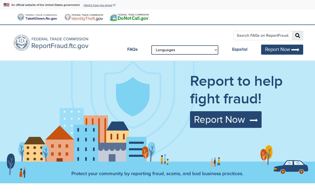
The FTC reporting portal adds a consumer-safety endpoint to the block workflow. It is useful when an address-based message looks designed to obtain money or personal data.