
Start a Cudahy Street Directory Walk
An address search works best as a chain, not a single name hunt. Start with one situs address and keep a record of every key it returns. The Los Angeles County Assessor can connect a full address to an AIN and parcel facts. The County Assessor Maps viewer can then show the lots beside it. From there, the current assessee can lead to a deed request, while a permit file or dated reverse directory can add a different kind of address evidence. A Cudahy street directory result is strongest when each step stays tied to the same parcel and date. It still does not prove that every person at the property lives there.
- Resolve the address. Enter the full situs address or AIN in the Los Angeles County Assessor Property Search. Record the returned AIN, situs, and parcel details before moving on.
- Walk the map. Open Los Angeles County Assessor Maps, zoom until parcel boundaries are legible, and click the lots left, right, and across the street. Record each AIN and situs.
- Separate voter access. A California My Voter Status check is an authenticated self-lookup. A street index or voter data product requires an authorized purpose and applicable product fee, so it is not a public block browse.
- Hand off to RR/CC. Use the current assessee or owner name, plus a likely recording year, when contacting the Los Angeles County Registrar-Recorder/County Clerk. Its property index is organized by grantor, grantee, and recording year, not by street or APN.
- Check dated directories. Ask library staff about Los Angeles-area reverse or criss-cross volumes. A volume may sort by street and house number and show a listed subscriber or occupant, but an entry is not a complete household roll.
Keep parcel facts, voter signals, and directory entries labeled by source and date. That separation prevents a partial address clue from becoming a claim about a household.
Turn a Cudahy Street Address into an AIN
The Los Angeles County Assessor starts with the physical situs, not a person’s name. Its free search accepts an AIN or full situs address, and autocomplete can supply the city, ZIP, and AIN. Parcel results carry use, status, value, legal, building, and map facts that keep a Cudahy address tied to one lot.
The free search is not a free owner-name browse. Assessee-name access is handled through the Assessor Property Database, a regional office terminal, or the Assessor phone line at 213-974-3363. An assessee is the name tied to the assessment record. It is useful for the next recorder step, but it is not proof that the person occupies the situs.
Open the Los Angeles County Assessor Property Search to see the address-to-AIN starting point for a Cudahy address lookup.
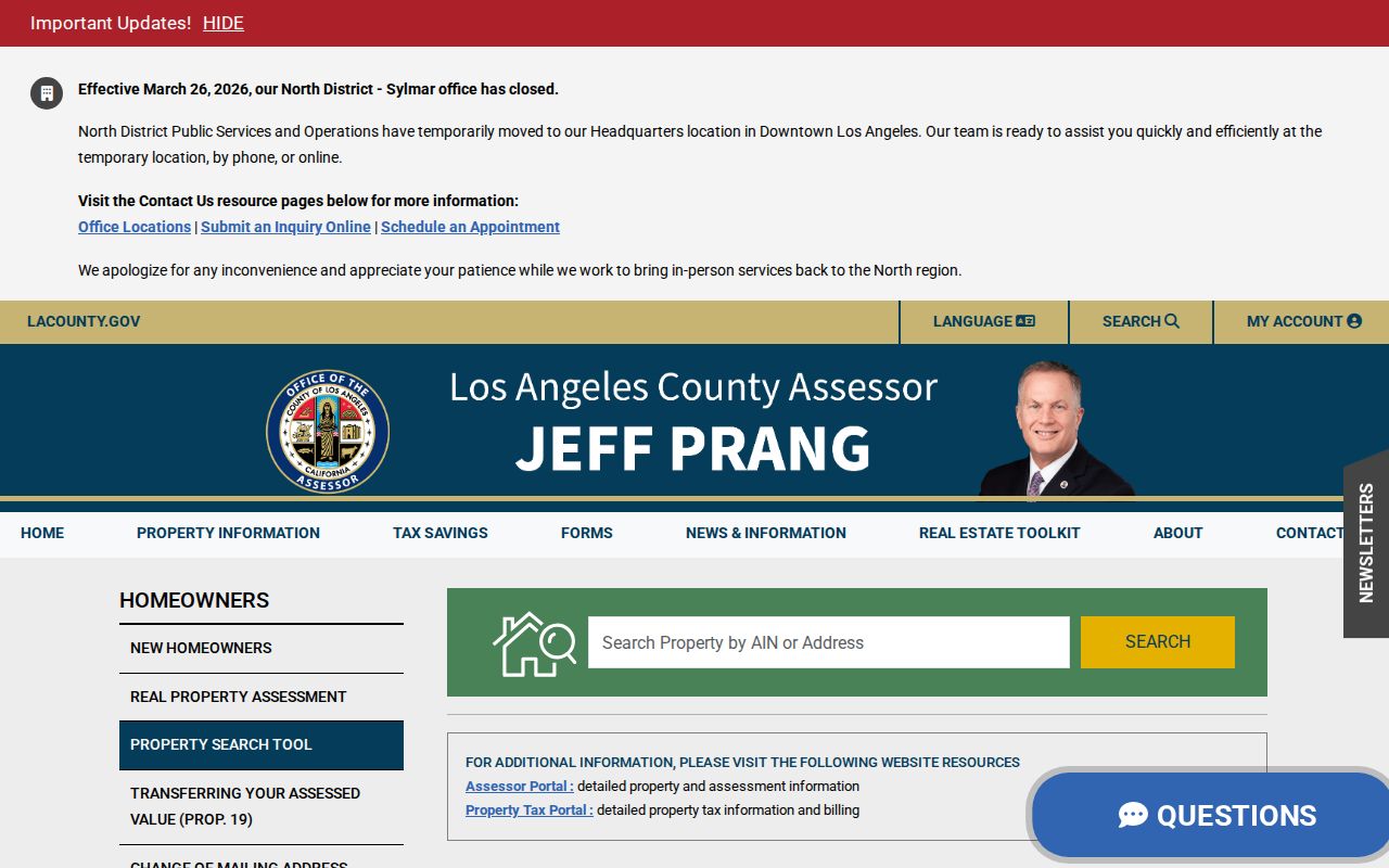
The address search is best treated as an identity check for the parcel. Carry the AIN and exact situs into the map and later requests, rather than copying only a person’s name.
| Search Field | Type | Required | Format or Access Note |
|---|---|---|---|
| AIN | Text | One of two | Mapbook-page-parcel identifier, normally 10 digits |
| Address | Text/autocomplete | One of two | Full situs address; autocomplete supplies city, ZIP, and AIN |
| Assessee Name | PDB index | Alternate | Remote subscription or free office terminal |
| Situs Address | PDB index | Alternate | One record at a time |
A normal parcel result can supply the fields that keep a street search tied to one lot:
- Situs address, AIN, map index, and parcel or use type
- Tax-rate area, status, exemption, use code, and unit count
- Land area, zoning, legal description, and district contact
- Land and improvement values, including current or base-year values
- Building year, effective year, depreciation details, and map information
The remote Property Database costs $100 per month plus $1 per inquiry. Other remote terms include a $168 token renewed every three years and a $200 trust account. Free regional-office terminals and telephone service give a different access path when a paid subscription is not useful.
Browse Cudahy Street Directory Parcels
A parcel map turns one address into a small street sequence. In the Los Angeles County Assessor Maps viewer, zoom until the boundaries are legible. Click the target lot, then work left, right, and across the street. Record each AIN and situs before opening the related Assessor result. This is a practical method in Cudahy, a compact municipality of roughly 1.2 square miles, where parcel-by-parcel review is manageable.
The GIS view adds shape and adjacency, not a household roster. It can expose a jurisdiction edge in the urban fabric shared with Bell, Bell Gardens, Huntington Park, and South Gate. No verified public buffer or radius owner export was found. The reliable unit is the individual parcel and its recorded AIN.
The parcel screenshot from Los Angeles County Assessor Maps illustrates the map step in a Cudahy address walk.
After each click, compare the situs and AIN with the first Assessor search. A neighbor’s popup may not include owner information, so use the Property Database, a counter terminal, or the phone path when the name is necessary.
Cudahy Street Records by Address
Street records are a handoff between custodians. The Assessor begins with parcel identity; GIS adds geometry; RR/CC holds instruments; the Treasurer and Tax Collector holds tax-account material; Building & Safety handles permits. Voter products and reverse directories add limited clues.
| Record Set | Keeper | What It Shows | Access |
|---|---|---|---|
| Parcel roll | Los Angeles County Assessor | Situs, AIN, use, values, legal, building, and exemption facts | Free address/AIN search; assessee access by PDB, counter, or phone |
| Parcel GIS | Los Angeles County Assessor Maps | Parcel geometry, adjacent AINs, and situs connections | Free interactive viewer |
| Recorded deeds and plats | Los Angeles County RR/CC | Grantor, grantee, recording year, document, and legal description | Counter or request; no public online index |
| Tax account | Los Angeles County Treasurer and Tax Collector | Tax bill, default or delinquency, and auction material | Online and office channels |
| Permit or code file | Cudahy Building & Safety | Work and applicant or owner information as recorded | Staff request or CPRA; digital years not stated |
| Voter data product | Los Angeles County RR/CC Elections | Allowed registered-voter fields for an authorized purpose | Restricted product and applicable fee; no open street browse |
The AIN bridges the parcel roll and map. The current assessee or owner bridges to a name-and-year recorder request. Permits need an address and date range; reverse directories need a publication year. No single Cudahy address search returns a complete list of people.
Sort Cudahy Situs and Legal Keys
A Cudahy address trail can lose its way when a postal address is treated as the only identifier. The situs is the physical parcel. The assessee mailing address is a correspondence destination and may differ from the situs. A legal description uses tract, lot, block, map-book, or metes-and-bounds information. The AIN is the Assessor’s mapbook-page-parcel key. These labels describe related parts of a property record, not interchangeable proof of a person’s home.
Keep the tract, lot, block, and map-book/page details beside the street label. Legal identifiers can remain useful when a street label changes. The Assessor notes can also include a trust or LLC as owner, and neither an assessee mailing address nor an exemption conclusively proves occupancy. That distinction matters whenever a street search moves from parcel facts to people.
Move a Cudahy Street Owner to the Recorder
The local myth to correct is that RR/CC can search a Cudahy street or APN online. It cannot. The index uses grantor, grantee, and recording year. A grantor transfers an interest; a grantee receives it. Move from address and AIN to a current assessee or owner, then to a name-and-year request.
Read the Los Angeles County RR/CC real-estate records information before making the handoff. The county’s property holdings reach back to 1850, but the absence of a public online index means the counter or request channel remains central.
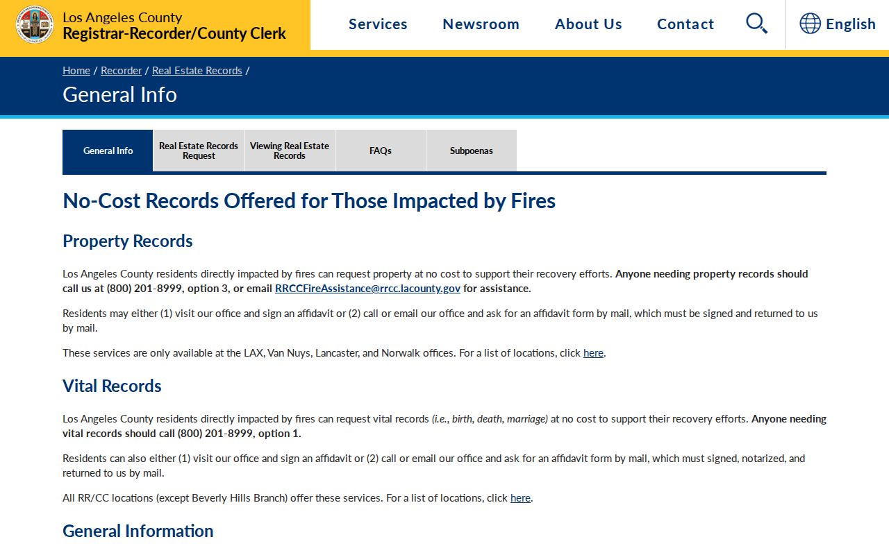
The recorder access view marks the boundary between a parcel search and a document search. It does not turn a street into a party index.
Use the chain address → AIN → current assessee → newest deed → earlier grantee → next recording year. After the newest acquisition deed, search its seller as an earlier grantee. Mail requests need a document number or party name, recording year, and document title. The RR/CC real-estate-records request instructions outline the request path. The counter is Room 2207 at 12400 Imperial Highway in Norwalk, Monday through Friday from 8 to 5; the main service number is 800-201-8999. A mail name search costs $0.50 per name per year, with a $1 minimum. Plain copies cost $5 for the first page and $3 for each additional page. Certified copies cost $6 for the first page and $3 for each additional page. Online copy orders normally take 20 working days.
Note: The current grantee is a useful title link, but a deed chain still does not identify every occupant connected with the address.
Cross-Check a Cudahy Street with Tax Records
Tax material is a parcel cross-check, not a resident roll. The Los Angeles County Treasurer and Tax Collector is the custodian for property-tax bills, default or delinquency information, and auction material. The access map identifies online and office channels, with availability tied to the tax year. Match any tax account to the AIN and situs already recorded from the Assessor.
A view of the Los Angeles County property-tax custodian belongs after the parcel step in a Cudahy parcel search.
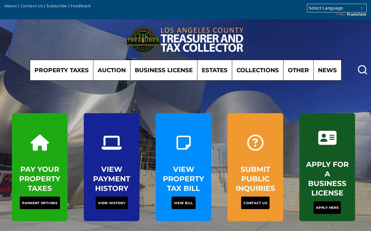
Tax status can help confirm that the right parcel was carried forward, but it does not establish continuous occupancy or replace a recorded instrument.
Request Cudahy Street Permit Evidence
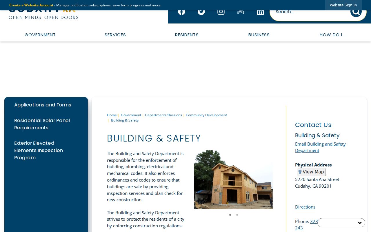
Cudahy Building & Safety is the address-based entry point for permit files and related work history. The city did not publish a searchable historical permit or code database with a confirmed digital year range. Ask by address and date range through the Cudahy Building & Safety office or use the city’s Public Records Request form.
The Cudahy Building & Safety source image shows the local department that can route an address record in a Cudahy address inquiry.
Describe the address, the work or code subject, and the date range. The CPRA form asks for the requester’s name, mailing address, phone, email, a description of the information, and a choice between copies, inspection, or both. City staff state that they will determine within 10 days whether responsive records are public and available. Standard copies cost $0.25 per page, and added charges may apply. A permit can date work tied to an address, while the applicant or owner field remains information as recorded, not proof of who occupied the property.
Read a Cudahy Street Directory in Reverse
Printed reverse directories add a dated people layer to a parcel trail. The Los Angeles County Library local-history collection describes a closed-stack Californiana Collection at Norwalk Library with more than 24,000 books, more than 200 periodical and newspaper titles, California census schedules from 1850 through 1910, and city directories dating from the nineteenth century. Exact Cudahy and reverse-directory runs are not published online, so contact staff before travel.
A criss-cross volume may sort by street and house number, then show a listed subscriber or occupant and sometimes a telephone number. Entries are incomplete. Unlisted people and non-subscribers will not appear, and the volume’s own abbreviation key controls how marks such as residence, business, spouse, or owner status should be read. For the collection history and broader directory shelf, use the Cudahy city directory reference rather than treating one reverse volume as a current street list.
Note: A publication year belongs beside every reverse-directory entry because the address connection can change between volumes.
Trace Cudahy Streets Before 1960
Current city labels do not contain the whole Cudahy address story. Los Angeles County was created in 1850, and RR/CC property holdings begin that year. Cudahy incorporated on November 10, 1960. Earlier residents and parcels may therefore appear under Los Angeles County, Cudahy Ranch, or an adjacent-place heading rather than a standalone Cudahy record.
Michael Cudahy purchased several thousand acres in 1893, and the Cudahy Ranch Company formed after his death. That land history supplies a useful surname and tract bridge when a modern street label does not match an older source. Pair county deeds and tract maps with broader Los Angeles directories, newspapers, and the census enumeration geography. The public 1950 census predates incorporation, so a search for an earlier Cudahy household should begin with the historic geography, then move forward to the city-era parcel key.
Note: No authoritative citywide street-renumbering table is confirmed, so preserve tract, lot, block, and map-book details for older addresses.
Why ZIP 90201 Breaks a Cudahy Street List
ZIP 90201 crosses Cudahy and surrounding Bell and Bell Gardens postal territory. The shared ZIP also sits in a continuous urban fabric with Huntington Park and South Gate. A postal city or ZIP label can place an address in the delivery system without proving that the parcel lies inside Cudahy’s incorporated boundary. That is why ZIP geography belongs after the parcel and map checks in a Cudahy address workflow.
The official USPS ZIP Code Lookup offers “Find by Address,” using Street Address, City, State, and an optional ZIP, plus “Cities by ZIP Code,” using a ZIP. USPS verifies delivery geography, not municipal jurisdiction. Follow its result with the Assessor GIS boundary and AIN. The Assessor accepts ZIP only through address autocomplete; RR/CC has no online index; My Voter Status is personal; and the GIS view can extend outside Cudahy.
No public Assessor, voter, or recorder mode returns all residents in ZIP 90201. A ZIP can narrow an address search, but the street-by-street result still depends on a verified situs and parcel key.
A Cudahy Street Directory’s Blind Spots
Parcel ownership, a deed chain, a permit file, a voter product, and a reverse directory each cover a narrow slice of street life. Utility customer records, delivery records, DMV address data, student records, and complete household lists are not public resident directories. A trust or LLC may own a parcel. An assessee mailing address may point elsewhere. Neither fact settles who occupies the situs today.
California voter information is restricted by Elections Code §2194. My Voter Status is an authenticated personal check, while a street index or voter data product requires an authorized purpose. The federal DPPA limits motor-vehicle address use. Safe at Home provides a substitute address and mail-forwarding safety program, not retrospective deletion from every source. Government Code §§6205-6216 and record-specific protections matter when an address is deliberately withheld.
Lawful use. Cudahy parcel, deed, permit, and voter products are for lawful personal research. Penal Code §646.9 addresses stalking involving repeated following or harassment plus a credible threat, while §653m addresses specified threatening, obscene, or repeated harassing communications. Public availability is not permission to stalk, harass, intimidate, or harm anyone.
End the Cudahy street directory trail with the custodian’s record and its limits named. Keep the AIN, situs, legal description, source date, and access rule together so partial records do not become a household claim.